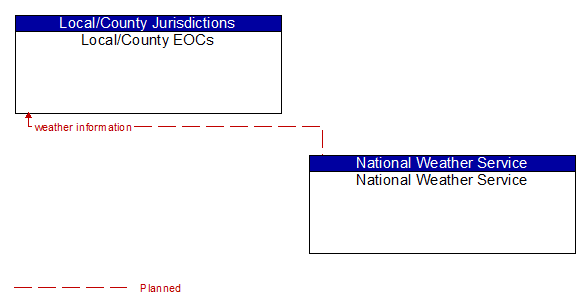
Interface: Local/County EOCs - National Weather Service
Architecture Flow Definitions
weather information (Planned) Applicable ITS Standards
Accumulated forecasted and current weather data (e.g., temperature, pressure, wind speed, wind direction, humidity, precipitation, visibility, light conditions, etc.).