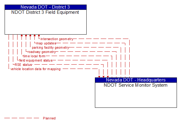
Interface: NDOT District 3 Field Equipment - NDOT Service Monitor System
Architecture Flow Definitions
field equipment status (Planned) Applicable ITS Standards
Reports from field equipment (sensors, signals, signs, controllers, etc.) which indicate current operational status.
intersection geometry (Planned) Applicable ITS Standards
The physical geometry of an intersection covering the location and width of each approaching lane, egress lane, and valid paths between approaches and egresses. This flow also defines the location of stop lines, cross walks, specific traffic law restrictions for the intersection (e.g., turning movement restrictions), and other elements that support calculation of a safe and legal vehicle path through the intersection.
map updates (Planned) Applicable ITS Standards
Map update which could include a new underlying static or real–time map or map layer(s) update.
parking facility geometry (Planned) Applicable ITS Standards
Precise spatial description of a parking facility that locates each parking space and the ingress and egress routes that are used to travel to and from the spaces.
roadway geometry (Planned) Applicable ITS Standards
The physical geometry of a road segment that specifies the location and width of each lane, including normal lanes as well as special lanes for pedestrians and bicycles, transit vehicles, and trains. This flow also may include the curvature, grade, and superelevation or banking of the road segment.
RSE status (Planned) Applicable ITS Standards
Monitoring of RSE device status including current mode, operational status, and configuration settings. It includes device housekeeping/heartbeat monitoring and includes network information, the status of installed applications, the configuration of managed devices, cybersecurity and physical security status of the RSE.
time local form (Planned) Applicable ITS Standards
Time local form includes UTC time synchronized with the external source in a format usable by connected vehicle center functions.
vehicle location data for mapping (Planned) Applicable ITS Standards
Aggregate vehicle location data collected to support map data creation and refinement.