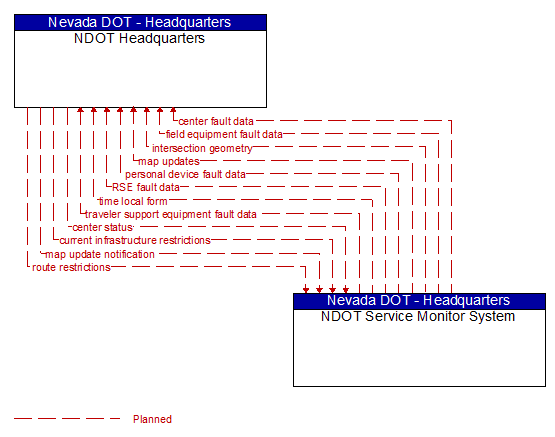
Interface: NDOT Headquarters - NDOT Service Monitor System
Architecture Flow Definitions
center fault data (Planned) Applicable ITS Standards
Fault information that can be used to identify centers that require initialization, reconfiguration, or repair. This flow identifies the center, the nature of the fault, and associated error codes and diagnostic data.
center status (Planned) Applicable ITS Standards
Represents the interactive monitoring of system operations by the Service Monitor. It includes device housekeeping/heartbeat monitoring and network monitoring information, the status of installed applications, and the configuration of managed devices.
current infrastructure restrictions (Planned) Applicable ITS Standards
Restrictions levied on transportation asset usage based on infrastructure design, surveys, tests, or analyses. This includes standard facility design height, width, and weight restrictions, special restrictions such as spring weight restrictions, and temporary facility restrictions that are imposed during maintenance and construction.
field equipment fault data (Planned) Applicable ITS Standards
Field equipment fault information that can be used to identify field equipment that requires initialization, reconfiguration, repair or replacement. This flow identifies the device, the nature of the fault, and associated error codes and diagnostic data.
intersection geometry (Planned) Applicable ITS Standards
The physical geometry of an intersection covering the location and width of each approaching lane, egress lane, and valid paths between approaches and egresses. This flow also defines the location of stop lines, cross walks, specific traffic law restrictions for the intersection (e.g., turning movement restrictions), and other elements that support calculation of a safe and legal vehicle path through the intersection.
map update notification (Planned) Applicable ITS Standards
Notification of maintenance, construction, and other activities that will result in medium to long term changes to road location and configuration that may impact navigable maps. This flow includes the timing of the changes and precise enumeration of the location and configuration changes.
map updates (Planned) Applicable ITS Standards
Map update which could include a new underlying static or real–time map or map layer(s) update.
personal device fault data (Planned) Applicable ITS Standards
Personal device fault information that can be used to identify PIDs that require initialization, reconfiguration, repair or replacement. This flow identifies the device, the nature of the fault, and associated error codes and diagnostic data.
route restrictions (Planned) Applicable ITS Standards
Information about routes, road segments, and areas that do not allow the transport of security sensitive hazmat cargoes or include other restrictions (such as height or weight limits).
RSE fault data (Planned) Applicable ITS Standards
RSE fault information that can be used to identify RSEs that require initialization, reconfiguration, repair or replacement. This flow identifies the device, the nature of the fault, and associated error codes and diagnostic data.
time local form (Planned) Applicable ITS Standards
Time local form includes UTC time synchronized with the external source in a format usable by connected vehicle center functions.
traveler support equipment fault data (Planned) Applicable ITS Standards
Traveler Support Equipment fault information that can be used to identify TSEs that require initialization, reconfiguration, repair or replacement. This flow identifies the device, the nature of the fault, and associated error codes and diagnostic data.