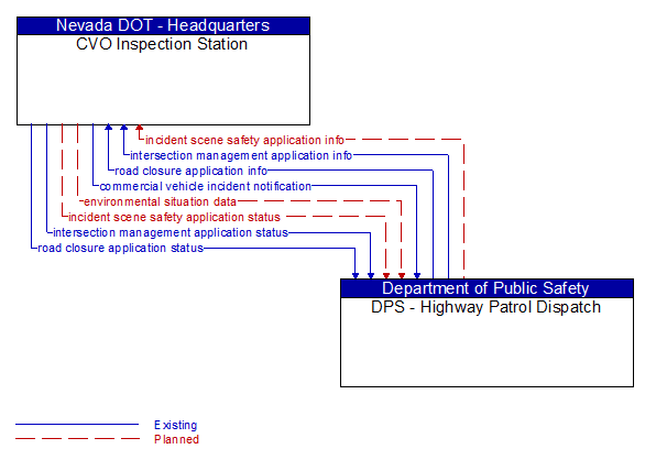
Interface: CVO Inspection Station - DPS - Highway Patrol Dispatch
Architecture Flow Definitions
commercial vehicle incident notification (Existing) Applicable ITS Standards
Information about a Commercial Vehicle or Freight Equipment breach, non–permitted security sensitive hazmat detected at the roadside, route deviation, or Commercial Vehicle Driver / Commercial Vehicle / Freight Equipment assignment mismatches which includes the location of the Commercial Vehicle and appropriate identities.
environmental situation data (Planned) Applicable ITS Standards
Aggregated and filtered vehicle environmental data collected from vehicle safety and convenience systems including measured air temperature, exterior light status, wiper status, sun sensor status, rain sensor status, traction control status, anti–lock brake status, and other collected vehicle system status and sensor information. This information flow represents the aggregated and filtered environmental data sets that are provided by the RSE to the back office center. Depending on the RSE configuration and implementation, the data set may also include environmental sensor station data collected by the RSE.
incident scene safety application info (Planned) Applicable ITS Standards
Incident scene safety application configuration data and warning parameters and thresholds. This includes incident scene configuration including geofenced safe areas and travel lanes that provide a safety boundary between public safety responders and passing vehicles. This flow also supports remote control of the application so the application can be taken offline, reset, or restarted.
incident scene safety application status (Planned) Applicable ITS Standards
Incident scene safety application status reported by the RSE. This includes current operational state and status of the RSE and a record of identified safety alerts and warnings issued.
intersection management application info (Existing) Applicable ITS Standards
Intersection and device configuration data, including intersection geometry, and warning parameters and thresholds. This flow also supports remote control of the application so the application can be taken offline, reset, or restarted.
intersection management application status (Existing) Applicable ITS Standards
Infrastructure application status reported by the RSE. This includes current operational state and status of the RSE and a log of operations.
road closure application info (Existing) Applicable ITS Standards
Road closure signing application configuration data and messaging parameters. This flow identifies the vehicles that may initiate the road closure. This flow also provides access lists, groups, or classifications where selected vehicles are to be allowed access to the closed area.
road closure application status (Existing) Applicable ITS Standards
Road closure application status reported by the RSE. This includes current operational state and status of the RSE, closure status, and a log of closure commands received and issued. For closures that allow entry by selected vehicles, this flow provides an access log identifying vehicles that have requested access with access status.